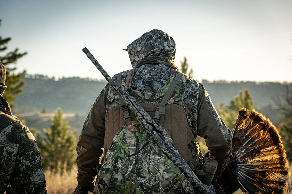
Deer Hunting and Terrain
There are many kinds of deer hunters in the world, each with their own skillset and interests as it pertains to deer hunting. But this article will focus on one particular type: the obsessive map reader. You know who you are. If you find yourself with a spare moment and you turn to aerial maps of your favorite hunting spot to look things over, this is for you. And if you don’t typically engage in such activities, here are a few ways you can become a better deer hunter by learning how to read deer and terrain from these maps.
Topography, Terrain, and Habitat
Before we jump into deer and terrain discussions, we should lay down some definitions on these various terms. Different people define these a little differently and there are dozen other words to describe these same concepts, but we’ll stick with topography, terrain, and habitat here.
- Topography refers to the elevation of an area, which is why when we review topographic maps, it shows contour lines depicting the elevation. When contour lines are clustered closely together on a map, it means the elevation changes rapidly, and when they are spaced out, the elevation changes slowly.
- Terrain refers to the physical features in an area. This might include hills, valleys, ridges, slopes, bluffs, swamps, lakes, or rivers. It’s a very slight distinction from topography and we often interchange them (a hill is a change in elevation, after all), but there it is.
- Habitat refers to the biological features (e.g., actual vegetation species) present in an area that a specific wildlife species uses to find food and cover. Whitetails primarily use habitats including young hardwood forests, mature oak forests, field edges/old fields, prairie grasses, and riverine/riparian areas.
How Do Deer and Terrain Interact?
So how are deer and terrain connected and why does it matter for you as a hunter? While deer can never be completely predictable, they do have some tendencies that we can estimate patterns from. Here are some common terrain and habitat features used by white-tailed deer across their range, where you can expect them to congregate or spend more time traveling through than other areas. Thus, if you find these features, you have a better chance at encountering a deer during the hunting season.
Terrain/Habitat Funnels
Even though we’re talking about deer and terrain primarily, we also can’t dismiss how useful habitat funnels can be when deer hunting. Deer funnels are anywhere where the habitat or terrain pinches deer movement down into a smaller area. This narrower band is where you want to be to experience closer shots at deer. You can see habitat funnels for deer easily from an aerial map – look for any area where habitats pinch down into a narrow section. For example, a wooded fence line across an old field would tend to attract deer so they don’t have to cross the open field, and a recent timber harvest will pinch deer traffic around the perimeter where there is cover.
Likewise, you can see terrain funnels by using a topographic map. For example, if a stream/creek is flanked by dense contour lines (i.e., steep banks) on both sides, and the lines suddenly spread out, this indicates a shallower slope, and this is a likely deer crossing area (deer prefer the easiest route if possible). Rivers and ponds can be great funnels for whitetails because they will rarely cross them unless they absolutely have to, so anywhere you can find a terrain or habitat feature that pinches deer movement against a water feature, you should be able to find some deer sign.
Terrain/Habitat Edges
Deer are keen to using terrain and habitat changes and we often describe them as “creatures of the edge” – which applies to both terrain and habitat. Habitat edges are very easy to see on an aerial map (e.g., a field flanked by mature forest, young forest, and a swamp). Terrain features may be more subtle to notice, but even in relatively flat areas of the country, topographic maps do have some variation. You might not notice it much in the field, but it’s there. A good example is the transition line between an alder swamp (i.e., lower elevation) and mature forest (i.e., higher elevation). If you can find even a 5-foot difference between the two areas, it’s likely that deer are using this area.
Topographic Points
In hilly country where wooded ridges dip down to valley bottoms planted in corn and beans, you can bet that deer will be using ridge points often. They tend to feed in the valley bottoms at night and bed up along the wooded ridge during the day. You can see a point on a topographic map where the contour lines literally form an abrupt point ad circle back. Whitetails will often bed on these points and secondary points looking down into the valleys, which keeps them from being sky lined along the top of the ridge and offers easy escape down either side if danger approaches.
Saddles
A saddle is a terrain funnel to be honest, but it’s basically an area where two high points (e.g., ridge lines, hills, etc.) dip down and meet at a lower elevation. They can be easily identified on topographic maps because the contour lines dip toward each other but don’t connect across. As far as hunting saddles for deer, this terrain feature works so well because deer will try to take the path of least resistance when they’re not being pressured. Instead of climbing straight up over a ridge, they will usually cross over in this low point instead or travel side-hill along the same elevation as the saddle.
Keep in mind that this terrain feature works for small elevation changes too – saddles that drop down only 5 or 10 feet can still be magnets for bucks traveling through an area. Mature bucks especially like to use these lower elevation areas for travel because it helps them sneak through unnoticed.
Using BaseMap for Deer and Terrain
Any time you can combine on-the-ground observations with desktop or digital scouting, you will have a better chance at making a successful plan. So if you’re wondering how to scout deer using maps, that’s where the BaseMap™ app really shines. Using your phone in the field, you can easily mark less obvious habitat or terrain features worth hunting in the fall, map deer sign you find while scouting, or measure distances or areas. This scouting app does everything you’d hope it could besides actually shoot a deer. Here’s how you can fold it into your hunting plans.
- Bring up your hunting area in your BaseMap app. You can select different background layers to show the aerial map (which shows the habitat features) or topographic map (which shows the contour lines and elevation changes). In many locations, you can even view your hunting area as a 3D map to really visualize the layout and terrain.
- On your map, drop markers anywhere you see one of the features mentioned above. This is your first step, but you will need to confirm them in the field.
- Next, use your app to check out each of these marked spots. If you see evidence of deer sign in the area (e.g., well-worn trails, scat, rubs, scrapes, etc.), you can add those observations in your app, which will come in handy later when you’re trying to process everything and make a plan.
- Finally, narrow your stand locations based on what area is easiest to access and has the best deer sign. Because it’s a natural funnel area and you know it supports deer, you already have a great chance at seeing and arrowing a mature buck.
We hope you can use these tips for narrowing down some high priority hunting areas based on deer and terrain in your area.